Vegetation Mapping and Classification 2012
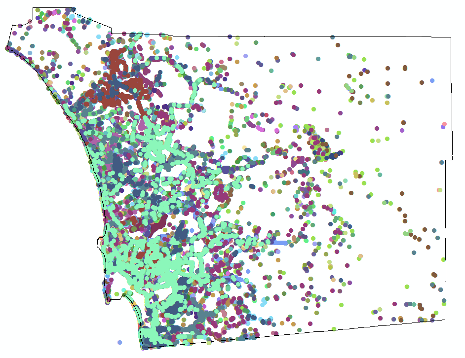
This project first created a vegetation classification system and manual. Then, based on 2012 data, this project completed 3 tasks: Task 1. Vegetation Mapping. Task 2. Invasive Nonnative Species Plant Mapping. Task 3. Tecate Cypress Mapping. In 2014, the data was updated based on user's comments. The final products are available to download in the data section.
Project Groups
-
SDMMP30 Vegetation Mapping & Classification
Project Focus
Asian mustard, black mustard, giant reed, panic veldtgrass, sweet fennel, Tecate cypress
chaparral, coastal sage scrub, dunes and coastal bluffs, freshwater marsh, grassland, oak woodland, riparian forest & scrub, salt marsh, southern interior cypress forest, Torrey pine forest, vernal pools and alkali playa
AECOM
Emily Perkins
Strategic Elements
- pre FY15-1
Project Location
| File name | Lead Author | Year | Type |
|---|---|---|---|
| Classification of Vegetation for Western San Diego County class key database | 2011 | field notes/data sheets | |
| Classification of Vegetation for Western San Diego County Stand Data | 2011 | other | |
| GIS Metadata and Data Dictionary.pdf | not sure | ||
| Preserves Visited as part of the Vegetation classification map | 2011 | other | |
| Vegetation Classification Manual for Western San Diego County | AECOM | 2011 | report |
