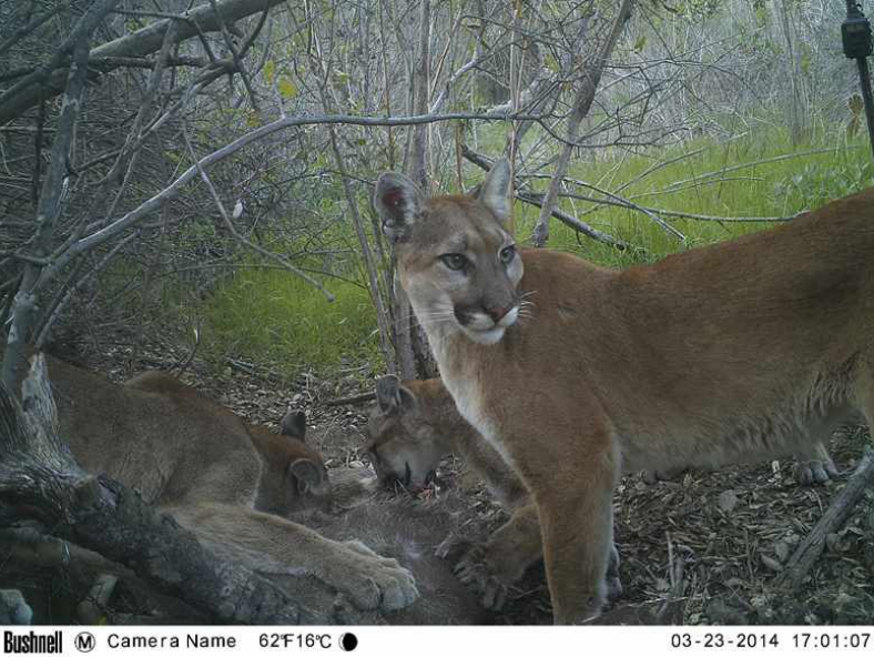
Mountain Lion Critical Linkage Evaluation in MSPA
As a part of its ongoing Southern California Mountain Lion project, this study assesses mountain lion use of core conserved lands and linkages in western San Diego County. GPS-collaring of mountain lions was undertaken in order to acquire location and movement data from individual lions utilizing core conserved areas and linkages that have been designated by the county. Six mountain lions were GPS-collared in this study (5 males and 1 female). All 6 circulated extensively in one or more of the targeted conserved cores and linkages, as well as on adjacent conserved and unconserved lands. Of the 9 core conserved areas assessed, 6 were used regularly by collared mountain lions. Of the 11 linkages identified for assessment, only 3 were demonstrated to be utilized for regular movement from one core area to another. One other linkage between core conserved areas was demonstrated that was not pre-identified on the connectivity maps. Roads and associated development, even rural development, appear to be the primary limiters of connectivity between conserved lands.
Project Groups
-
SDMMP13 Mountain Lion Research, Monitoring, and Management
Project Focus
Mountain lion
Winston Vickers
Winston Vickers
University of California, Davis
Winston Vickers
Emily Perkins
Winston Vickers
Project Protocol
Strategic Elements
- pre FY15-1
Project Location
Mountain lion Puma concolor
Goal: Enhance and expand areas occupied by mountain lion in San Diego County in large interconnected blocks (>1,000 acres) of suitable natural vegetation surrounded by a limited number of high use roads, and increase connectivity (and reduce potential road mortality) between occupied and suitable habitat areas to allow expansion and movement of mountain lion occurrences within San Diego County and adjacent counties to increase effective population size to sustainable levels and work to reduce depredation on livestock to ensure persistence in the MSPA over the long-term (>100 years).
MON-RES-SPEC PUMCON-1
Management units: 3, 4, 5, 8, 9, 10
In 2017, finalize efforts begun in 2016, using available regional mountain lion movement data, to develop quantitative models of mountain lion movement in the MSPA to validate likely movement patterns and to assist with linkage and land protection prioritization.
| Action | Statement | Action status | Projects |
|---|---|---|---|
| RES-1 | Project metadata, data, and report submitted to MSP web portal | completed | Mountain Lion Connectivity and Genetics Study- North San Diego County, Mountain Lion Critical Linkage Evaluation in MSPA |
| Criteria | Deadline year |
|---|---|
| Mountain lion connectivity model completed by 2017 | 2021 |
| Threat Name | Threat Code |
|---|---|
| Human uses of the Preserves | HUMUSE |
| Loss of connectivity | LOSCON |
| Urban development | URBDEV |
| File name | Lead Author | Year | Type |
|---|---|---|---|
| Mountain Lion Connectivity Study Final Report | Vickers, Winston | 2014 | report |
| Survival and Mortality of Pumas (Puma concolor) in a Fragmented, Urbanizing Landscape | Vickers, Winston; Sanchez, Jessica; Johnson, Christine; Morrison, Scott; Botta, Randy; Smith, Trish; Cohen, Brian; Huber, Patrick; Ernest, Holly; Boyce, Walter | 2015 | journal article |
