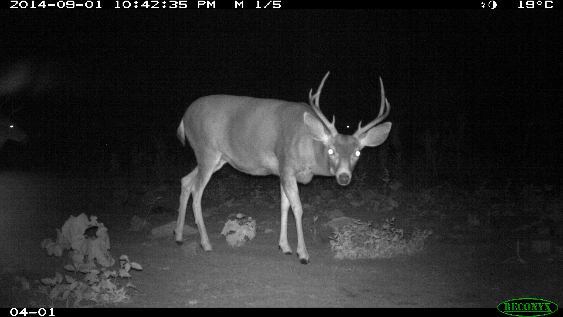
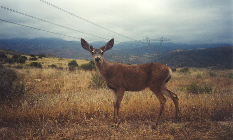
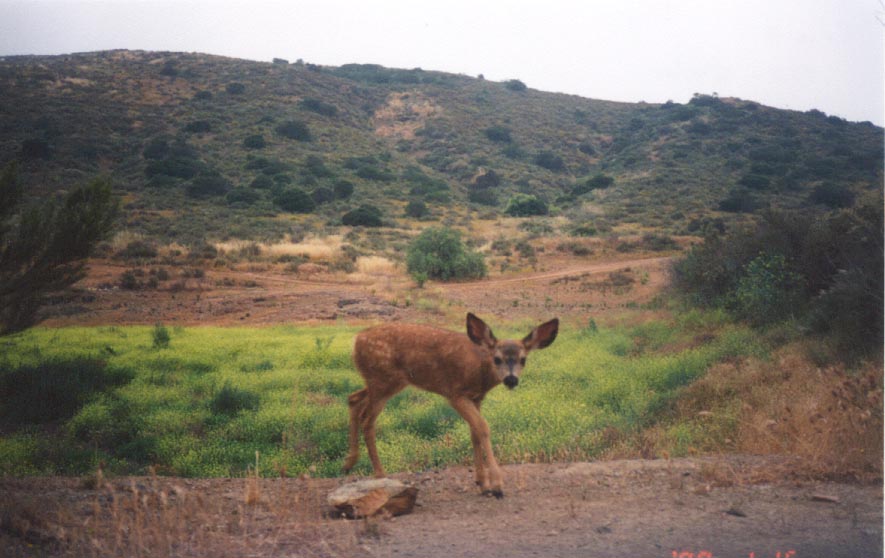
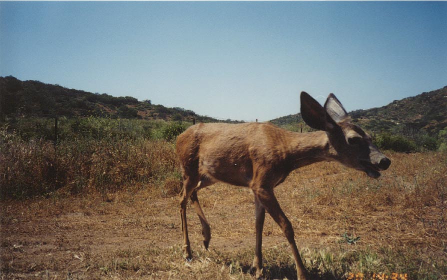
Historically present | |
Currently present | |
Currently not detected |
Goal: Enhance and expand areas occupied by southern mule deer in San Diego County within suitable natural vegetation surrounded by a limited number of high use roads, and increase connectivity (and reduce potential road mortality) between occupied and suitable habitat areas to allow expansion and movement of southern mule deer occurrences and to ensure persistence in the MSPA over the long-term (>100 years).
Management units: 4, 5, 6, 7, 8, 9
In 2018-2019, collect genetic material from southern mule deer to determine the extent of deer movement between conserved lands and barriers to connectivity in northern San Diego County
Action | Statement | Action status | Projects |
---|---|---|---|
RES-1 | In 2018-19, collect and analyze deer genetic material from conserved lands in MUs 6, 7, 8 and 9 to determine the extent of deer movement and connectivity between conserved lands. | In progress | |
RES-2 | Submit project metadata, data and reports to MSP web portal | Unknown |
Criteria | Deadline year |
---|---|
Determined deer genetic connectivity between conserved lands in MUs 6, 7, 8 and 9 | 2021 |
Threat Name | Threat Code |
---|---|
Loss of connectivity | LOSCON |
Management units: 3, 4, 5, 6, 7, 8, 9
In 2017 and 2018 and in conjunction with other linkage assessments and implementation plans, as feasible (e.g., mountain lion), integrate wildlife infrastructure recommendations to enhance deer movement based on results of deer genetic studies.
Action | Statement | Action status | Projects |
---|---|---|---|
PRP-1 | Incorporate considerations for mule deer when identifying locations and wildlife infrastructure improvements for mountain lions and other species in linkage implementation plans | Available for implementation |
Criteria | Deadline year |
---|---|
Measures to improve mule deer connectivity identified in wildlife infrastructure improvement plans | 2021 |
Threat Name | Threat Code |
---|---|
Loss of connectivity | LOSCON |
Management units: 3, 4, 5, 6, 7, 8, 9
Beginning in 2018, implement high priority wildlife infrastructure improvements to enhance connectivity for deer and other wildlife species
Action | Statement | Action status | Projects |
---|---|---|---|
IMP-1 | Submit project data and management actions to MSP web portal | waiting for precedent action | |
IMP-2 | Unknown |
Criteria | Deadline year |
---|---|
Wildlife crossing infrastructure improvements implemented to improve mule deer connectivity | 2021 |
Threat Name | Threat Code |
---|---|
Loss of connectivity | LOSCON |
Management units: 3, 4, 5, 6, 7, 8, 9
From 2018 to 2021, monitor implementation and effectiveness of linkage enhancements actions for mule deer and other wildlife species
Action | Statement | Action status | Projects |
---|---|---|---|
IMP-1 | Submit monitoring data and reports to MSP web portal | waiting for precedent action |
Criteria | Deadline year |
---|---|
Effectiveness of wildlife crossing infrastructure is in enhancing connectivity for mule deer is monitored | 2021 |
Threat Name | Threat Code |
---|---|
Loss of connectivity | LOSCON |
Artesian Creek Restoration
Approximately 300 acres along Artesian Creek, a tributary of the San Dieguito River, was restored to coastal sage or native riparian. The majority of restored land was previously used for grazing, with an additional two miles of riparian habitat. The project is located between Camino Del Sur and Del Dios Highway, just south and southwest of Lake Hodges. The restoration has been completed, but annual treatment of invasive species remains including ongoing treatment of eucalyptus, tamarix and palms. The focal invasive species included: mustard, French broom, Scotch broom, Spanish Fleabane, arundo, Austrailian salt bush, Brazilian Pepper, caster bean, lapidium latifolia, garland chrysanthemum, bridal creeper, Italian thistle, fountain grass, dittrichia graveolens, artichoke, eucalyptus, tree tobacco, acacia, palms, pampas grass, pride of Maderia, tamarix, and fennel.
|
Non-Invasive Genetic Sampling to Determine Movement of Southern Mule Deer Across California State Route 67
The goal of this project was to primarily assess east-west connectivity across Route 67 and secondarily, north-south connectivity across Scripps Poway Parkway and Poway Road, two highly trafficked roads to the west of Route 67.The Southern Mule Deer is a mobile but non-migratory large mammal found throughout southern California and is a covered species in the San Diego Multi-Species Conservation Plan. USGS researchers assessed deer movement and population connectivity across California State Route 67 and two smaller roads in eastern San Diego County using non-invasive genetic sampling. They collected deer scat pellets between April and November 2015, and genotyped pellets at 15 microsatellites and a sex determination marker. They successfully genotyped 71 unique individuals from throughout the study area and detected nine recapture events. Recaptures were generally found close to original capture locations (within 1.5 km). They did not detect recaptures across roads; however, pedigree analysis detected 21 first order relative pairs, of which approximately 20% were found across State Route 67. Exact tests comparing allele frequencies between groups of individuals in pre-defined geographic clusters detected significant genetic differentiation across State Route 67. In contrast, the assignment-based algorithm of STRUCTURE supported a single genetic cluster across the study area. Their data suggest that State Route 67 may reduce, but does not preclude, movement and gene flow of Southern Mule Deer.
|
San Diego Tracking Team Transect data verification
The San Diego Tracking Team is undertaking systematic data verification/review by deploying trail cameras at survey locations (placement to be determined by the transect leader) for one year (or two opposite seasons) per survey location, in rotation and/or as cameras become available. Feedback will be used to modify protocol where appropriate but primarily as a supplemental data source.
|
Southern Mule Deer Genetic Study - LAG funded
Southern mule deer connectivity study in the MSCP using DNA fingerprinting. The goals of this study were to: 1. Improve the laboratory methods to include more markers. 2. Genetically analyze both old and new mule deer samples with the full set of genetic markers. 3. Make management recommendations based on population genetic analyses, including how future changes in connectivity might be detected.
|
SR 94 Wildlife Infrastructure Plan
Proposed road improvements to SR 94 provide an opportunity to mitigate the potential barrier effects of the highway. This project identifies where improvements to existing infrastructure on SR-94 could improve connectivity across the South County preserves, using Best Management Practices from the scientific literature; recommends wildlife movement monitoring to identify where new crossings are needed; and identifies where additional conservation would enhance the integrity of South County linkages. The review prioritizes infrastructure improvements of 35 existing undercrossings inspected by wildlife experts in the field along 14.6 miles of SR-94 where the highway bisects conserved lands. The majority of the recommendations for infrastructure improvement focus on increasing the diameter, and thus the openness ratio (cross-sectional area divided by length), of the undercrossing itself, removing vegetation and debris blocking the undercrossing, restoring habitat in the approach to the undercrossing, and installing fencing to both (1) keep animals off the highway and (2) funnel wildlife to the undercrossings.
|
Range from the Southern Yukon and Mackenzie south through the western U.S. to western Texas, and throughout Baja Calif. and N. Mexico.[1]
None
Riparian and oak woodlands, coniferous forest, coastal sage scrub and chaparral; suitable habitat is a mosaic of vegetation, with clearings interspersed by dense brush or tree thickets; brushy areas and thickets are important for cover and thermal regulation; deer require sources of water throughout the year. [1]
Ten valid subspecies of O. hemionus are recognized. O. hemionus fuliginatus is found in southernmost California and Baja Calif. Mexico. [3]
Primarily active in mornings, evenings, and on moonlit nights, but may also be active at mid-day in winter. [1]
Serially polygynous; rutting season occurs in autumn; a dominant buck tends an estrous doe until matings are completed, or the buck is displaced by another buck; gestation period is 195 to 212 days; fawns are born from early April to midsummer;males and females are mature sexually in their second year; twins are common after the first or second fawning; triplets are rare; mule deer may live more than 10 years in the wild. [1]
Prefers to browse on tender new growth of various shrubs such as ceanothus, mountain mahogany, and bitterbrush; forbs and grasses are important in spring; they feed heavily on acorns where available, primarily in autumn; they also dig out subterranean mushrooms and commonly frequent salt or mineral licks. [1]
Most of the Calif. population is migratory, moving to lower elevations in the fall. However, mule deer in San Diego Co. are non-migratory; typical home ranges are fairly small, about 1.9 mi [2] for males, and 0.6 mi2 for females; does may defend small areas in late spring and early summer when caring for newborn fawns. [1]
Fragmentation by private property and urbanization could result in local extirpation without appropriate conservation measures. Roads are a significant source of direct mortality and habitat fragmentation. [2] In a study of deer genetics in San Diego Co., a graduate student at SDSU (Anna Mitelberg) found evidence for limited dispersal, a population structure that corresponds to major freeways, and population bottlenecks within the past 60 years. [4]
Excerpted from the San Diego MHCP, Volume 2 (see AMEC and CBI 2003 and citations within) - Migration and dispersal corridors that minimize the potential for roadkill are an important component of a preserve design and will benefit mule deer. Mule deer are an important prey for mountain lions. New or realigned roads should be removed from riparian corridors, and properly designed road undercrossings, with wildlife fencing along roadways, should be installed at natural crossing locations to minimize vehicle-deer encounters.
[1] Ogden Environmental and Energy Services Co., Inc., The Rick Alexander Company, Onaka Planning & Economics, Douglas Ford & Associates, Sycamore Associates, SourcePoint, and CESAR. 1995. Multiple Species Conservation Program (MSCP) Volume 1: Resource Document. Prepared for the City of San Diego. March 1.
[2] AMEC Earth & Environmental, Inc. and Conservation Biology Institute. 2003. Volume II: Final MHCP Plan, Biological Analysis and Permitting Conditions. Prepared for Multiple Habitat Conservation Program. March.
[3] Wilson, D. E.; Reeder, D. M., eds. (2005). Mammal Species of the World (3rd ed.). Johns Hopkins University Press. ISBN 978-0-8018-8221-0. OCLC 62265494.
[4] Bohonak, A.J. 2012. Social Structure and Genetic Connectivity in the Southern Mule Deer: Implications for Management. San Diego State University. Scope of Work. January 27.