Suppression and Planning Actions for Restoring Communities and Species (SPARCS)
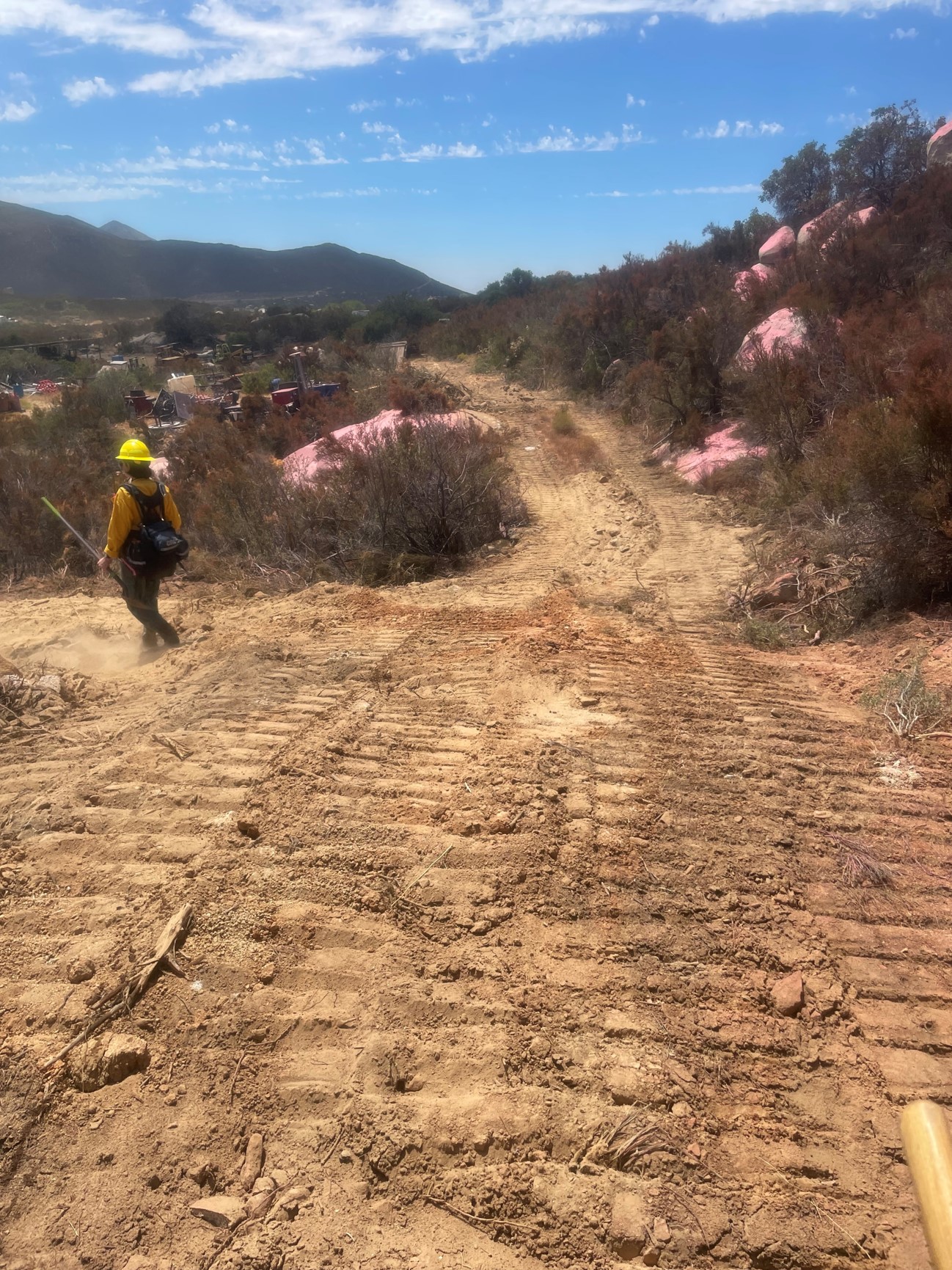
SPARCS (Suppression & Planning Actions for Restoring Communities & Species) is a program that creates proactive solutions by connecting local Ecological and Cultural resource experts with fire managers to identify concerns for active wildfire management in the Southern California Ecoregion.
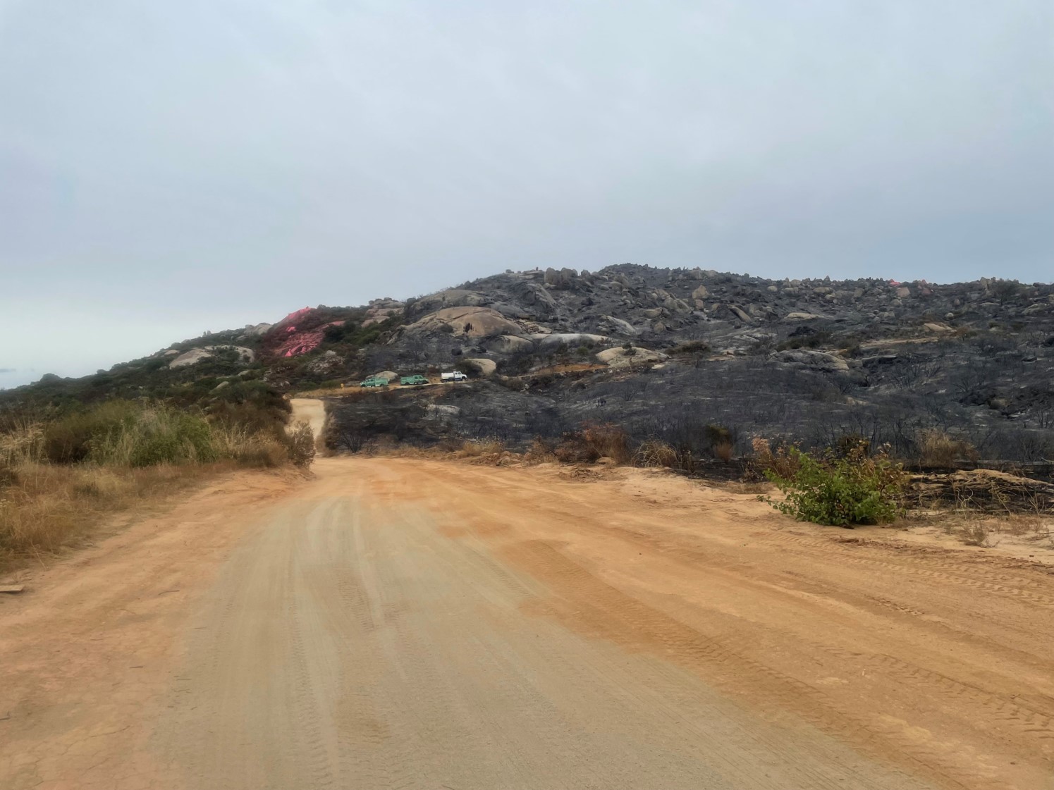
Impacts to natural and cultural resources on active wildfires via fire effects and suppression activities can have long-lasting effects on habitat. In Southern California, there is a mosaic of open space and conservation landowners as well as being an ecological hotspot with dozens of endangered species of plants and wildlife that makes resource protection during wildland fire management a challenge. With the increased risk of wildland fire, especially along the wildland urban interface, wildland fire managers need to incorporate local experts and conservation open space landowners into decision making processes.
It is a collaboration of local agencies including the USGS Western Ecological Research Center San Diego Field Station, BLM, San Diego Management and Monitoring Program, USFWS, NPS, CalFire, the County of San Diego, and local NGOs and will facilitate a shift in adaptive management in Southern California by establishing databases and web maps for fire personnel to utilize while responding to wildland fires in Southern California and create and manage a cohort of Resource Advisors in the Southern California Ecoregion.
This program received initial funding from SANDAG and expanded support from Camp Pendleton MCB and ACOE Los Angeles District.
Project Focus
Emily Perkins
Bureau of Land Management; San Diego Association of Governments
Robert N. Fisher
San Diego Management and Monitoring Program; U.S. Geological Survey, Western Ecological Research Center
Bureau of Land Management
Austin Parker
Sarah McCutcheon
Austin Parker
Altered fire regime
Goal: The fire management goal for the MSPA is to maintain the long-term ecological integrity and viability of ecosystems, MSP species, and vegetation communities on Conserved Lands in a cost effective manner by managing the current human altered fire regime to promote a fire regime, with lower fire frequency and reduced impacts (direct and indirect) to natural resources.
MGT-RSUP-RAAM ALTFIR-3
Management units: 3, 4, 5, 6, 8, 9, 10, 11
Beginning in 2017, with the help of a wildfire coordinator, prepare a regional Resource Avoidance Area map (RAA Map) that identifies MSP species/vegetation communities and other at-risk resources to be avoided on Conserved Lands by fire suppression activities, such as equipment staging, dozer line construction, retardant drops,and overland travel. The coordinator should work with Preserve owner managers and their responding (local, state and federal) fire agencies to develop the regional RAA Map in a compatible format with fire agencies' Wildland Fire Decision Support Systems.
| Action | Statement | Action status | Projects |
|---|---|---|---|
| RSUP-1 | The wildfire coordinator should work with land managers to prepare brief handouts for each preserve that accompany the Resource Avoidance Areas map and provide guidance to fire crews about what type of fire suppression actions are to be avoided in specific areas and the preferred sites for staging areas. | Available for implementation | Suppression and Planning Actions for Restoring Communities and Species (SPARCS) |
| RSUP-2 | Submit project metadata, datasets and RAA Map to MSP Web Portal. | Available for implementation |
| Criteria | Deadline year |
|---|---|
| Completed RAA Map for Region by 2021 | 2021 |
| Threat Name | Threat Code |
|---|---|
| Altered fire regime | ALTFIR |
Altered fire regime
Goal: The fire management goal for the MSPA is to maintain the long-term ecological integrity and viability of ecosystems, MSP species, and vegetation communities on Conserved Lands in a cost effective manner by managing the current human altered fire regime to promote a fire regime, with lower fire frequency and reduced impacts (direct and indirect) to natural resources.
MGT-IMP-RAAM ALTFIR-4
Management units: 3, 4, 5, 6, 8, 9, 10, 11
Starting in 2019, coordinate and integrate MSP Resource Avoidance Areas (RAA) Map into local state and federal management agencies GIS Wildland Fire Decision Support Systems.
| Action | Statement | Action status | Projects |
|---|---|---|---|
| IMP-1 | The wildfire coordinator should work with local, state and federal fire management agencies to incorporate the MSP RAA Map into their Wildland Fire Decision Support Systems platform(s). The map should be in a compatible format with standardized symbology and mapping criteria used by the fire management agencies. | waiting for precedent action | Suppression and Planning Actions for Restoring Communities and Species (SPARCS) |
| Criteria | Deadline year |
|---|---|
| By 2021, MSP RAA Map in 75% of GIS wildland fire decision support systems for local, state and federal firefighting agencies | 2021 |
| Threat Name | Threat Code |
|---|---|
| Altered fire regime | ALTFIR |
Altered fire regime
Goal: The fire management goal for the MSPA is to maintain the long-term ecological integrity and viability of ecosystems, MSP species, and vegetation communities on Conserved Lands in a cost effective manner by managing the current human altered fire regime to promote a fire regime, with lower fire frequency and reduced impacts (direct and indirect) to natural resources.
MGT-RSUP-WFRAP ALTFIR-6
Management units: 3, 4, 5, 6, 8, 9, 10, 11
Beginning in 2018, coordinate and establish a Wildland Fire Resource Advisor Program (WFRAP) for locally owned (non-federal and non-state) Conserved Lands to integrate local Resource Advisors (RAs) with federal and state agencies and provide unified guidance on avoidance/protective measures for MSP and other rare species and communities to Incident Command personnel during fire events.
| Action | Statement | Action status | Projects |
|---|---|---|---|
| RSUP-1 | Using the federal model as a guide, the regional wildfire coordinator should work with land managers and fire agencies to develop a WFRAP specific to MSP locally-owned lands and train land managers to be RAs. Procedures should be established for local RAs to work with federal and state advisors to communicate a unified message to Incident Command personnel during fire events. | Available for implementation | Suppression and Planning Actions for Restoring Communities and Species (SPARCS) |
| RSUP-2 | RAs should be encouraged to participate in fire safety organizations, such as the California Wildland Fire Coordinating Group to foster coordination and learn from the experiences and expertise of fire management personnel. | Available for implementation | Suppression and Planning Actions for Restoring Communities and Species (SPARCS) |
| Criteria | Deadline year |
|---|---|
| Establish WFRAP by 2021 for all locally-owned lands with trained RAs | 2021 |
| Threat Name | Threat Code |
|---|---|
| Altered fire regime | ALTFIR |
Altered fire regime
Goal: The fire management goal for the MSPA is to maintain the long-term ecological integrity and viability of ecosystems, MSP species, and vegetation communities on Conserved Lands in a cost effective manner by managing the current human altered fire regime to promote a fire regime, with lower fire frequency and reduced impacts (direct and indirect) to natural resources.
MGT-IMP-WFRAP ALTFIR-9
Management units: 3, 4, 5, 6, 8, 9, 10, 11
Implement WFRAP for local (non-federal/non-state) lands and work with federal and state RAs to provided unified guidance on avoidance/ protective measures for MSP species and communities to Incident Command personnel during fire events.
| Action | Statement | Action status | Projects |
|---|---|---|---|
| IMP-1 | Implement the WFRAP specific to MSP locally-owned preserves with trained RAs integrated into fire incident management teams to provide simple, unified message to IC concerning protection of natural resources. Wildfire coordinator will be available as a resource to assist in communicating regional MSP priorities among land managers. | On hold | Suppression and Planning Actions for Restoring Communities and Species (SPARCS) |
| Criteria | Deadline year |
|---|---|
| WFRAP implemented during fires on locally-owned lands from 2019-2021 | 2021 |
| Threat Name | Threat Code |
|---|---|
| Altered fire regime | ALTFIR |
| File name | Lead Author | Year | Type |
|---|---|---|---|
| All species and habitats IAP pages | Vinje, Jessie; Spring, Shawn | 2024 | fact sheet |
| Flashcards All species and habitat revisions | Vinje, Jessie; Spring, Shawn | 2024 | fact sheet |
| Recording - Southern California READ Cohort Meeting | Parker, Austin | 2024 | recording |
| SPARCS and SDMMP: Engaging with fire personnel when a fire occurs on your land | Parker, Austin | 2025 | powerpoint presentation |
| SPARCS Quick-Reference Fire Management Guide for Conservation Land Managers in Southern California | Fisher, Robert N.; McCutcheon, Sarah; Parker, Austin; Preston, Kris; USGS, San Diego Field Station | 2026 | other |
-
https://sdmmp.com/sparcs/
Description: SPARCS Website