California Gnatcatcher South Coast Regional Monitoring Program
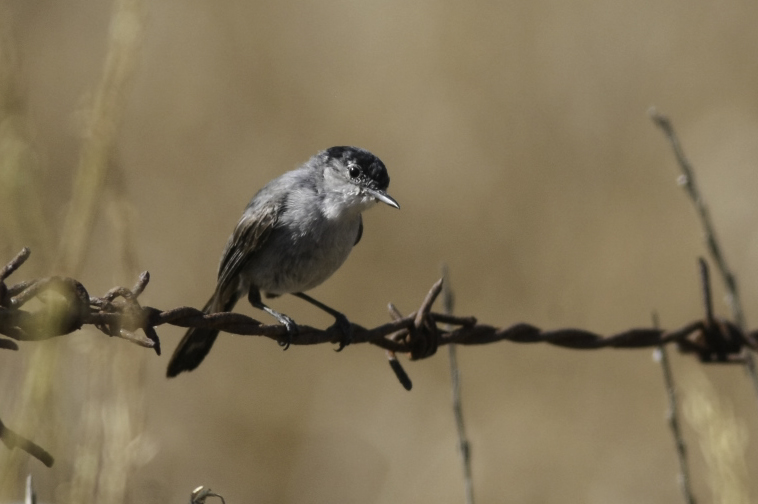
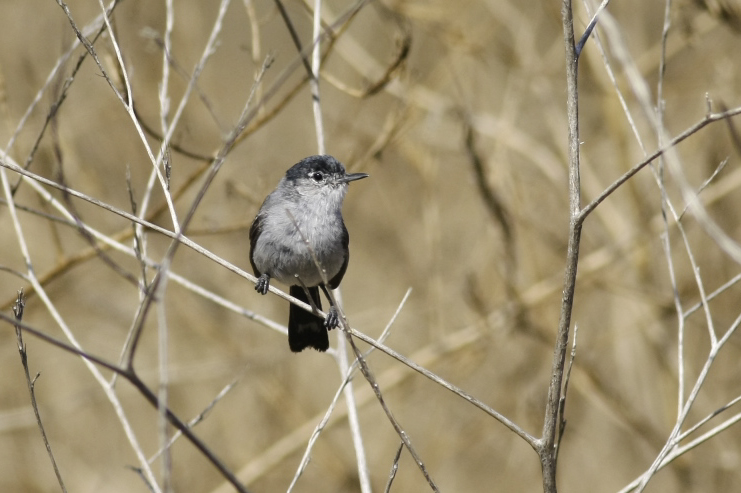
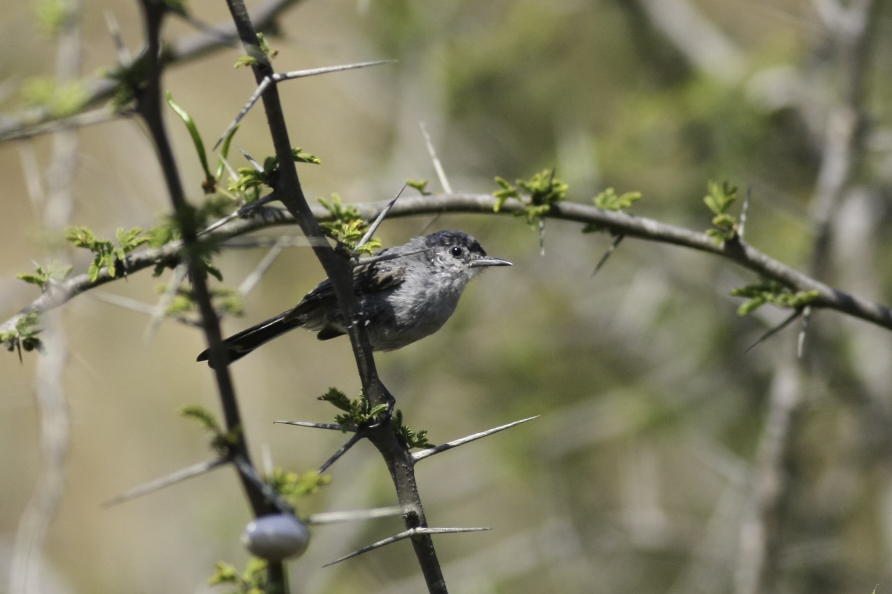
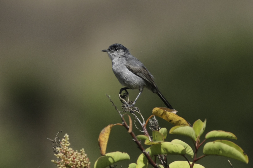
The USGS, USFWS, SDMMP, and the Nature Reserve of Orange County have joined together to develop a long-term coordinated regional monitoring program for the federally-threatened Coastal California Gnatcatcher (Polioptila californica californica) in the United States portion of the species range. Other participants include CDFW, The Nature Conservancy, Western Riverside RCA, Rancho Mission Viejo Conservancy, Naval Weapons Station Fallbrook, Marine Corp Base Camp Pendleton, Marine Corp Air Station Miramar. The goals of this program are to: 1) determine the population status of California Gnatcatchers in southern California on conserved and military lands; 2) track trends in California Gnatcatcher habitat occupancy over time in southern California to identify when thresholds have been met that trigger management actions; and 3) identify habitat attributes and threats associated with gnatcatcher occupancy in order to develop specific habitat-based management criteria and recommendations. To date, there have been no systematic surveys for this species across southern California. Surveys have been conducted periodically in portions of the gnatcatcher's range, particularly on conserved and military lands. However, these surveys have been conducted in different years and with a variety of methods providing different population metrics and as a result do not provide a region-wide estimate. In addition, during the last 15 years, there have been extremely large wildfires in southern California across a substantial portion of suitable habitat for gnatcatchers and there is little information on their status in these burned areas.
The first regional Coastal California Gnatcatcher survey is scheduled for 2016. This survey is planned for conserved lands and those military lands in southern California that choose to participate. The objectives of the regional monitoring program are:
1. In 2016, determine the percent area occupied (PAO) by California Gnatcatchers in modeled high and very high suitability habitat on conserved lands and on participating military lands in southern California.
2. Over the next 15 years, determine long-term trends in California Gnatcatcher PAO and in their colonization and extinction rates in modeled high and very high suitability habitat on conserved lands and participating military lands in southern California and be able to detect at least 30% change in California Gnatcatcher PAO.
3. Beginning in 2016, identify associations between habitat and threat correlates with California Gnatcatcher PAO and with colonization and extinction rates in order to develop biologically meaningful thresholds for management and to specify management criteria and recommendations.
Project Focus
Coastal California gnatcatcher
Barbara Kus
U.S. Geological Survey
Kris Preston
Kris Preston
Project Protocol
California Gnatcatchers will be surveyed using the wandering transect method, where we cover a 2.25 ha plot by walking slowly and methodically through the sage scrub habitat, looking and listening for gnatcatchers. The California Gnatcatcher Regional Sampling Program includes collection of vegetation covariate data to better understand gnatcatcher habitat relationships and management needs across conserved and participating military lands in southern California.
Strategic Elements
- FY15-16 - 1.2
Project Location
| File name | Lead Author | Year | Type |
|---|---|---|---|
| CAGN Regional Monitoring Sample Design | Preston, Kris; Kus, Barbara | 2015 | protocol supplement |
| File name | Lead Author | Year | Type |
|---|---|---|---|
| CAGN Regional Survey Protocol | 2016 | protocol | |
| CAGN Regional Survey Quadrats Blank Form | 2016 | field notes/data sheets | |
| CAGN Regional Survey Veg Sampling Plant Guide | 2016 | report | |
| CAGN Regional Survey Vegetation Assessment Blank Form | 2016 | field notes/data sheets | |
| CAGN Vegetation Sampling Protocol | 2016 | protocol | |
| Regional Occupancy and Post-Fire Recovery of California Gnatcatcher in Southern California | Kus, Barbara; Preston, Kris; Houston, Alexandra | 2017 | powerpoint presentation |
Project Data - Online Map
-
https://www.sciencebase.gov/catalog/item/617841f4d34e4c6b7fe2a4e6
Description: Sciencebase Link to 2020 Regional Data and Metadata


