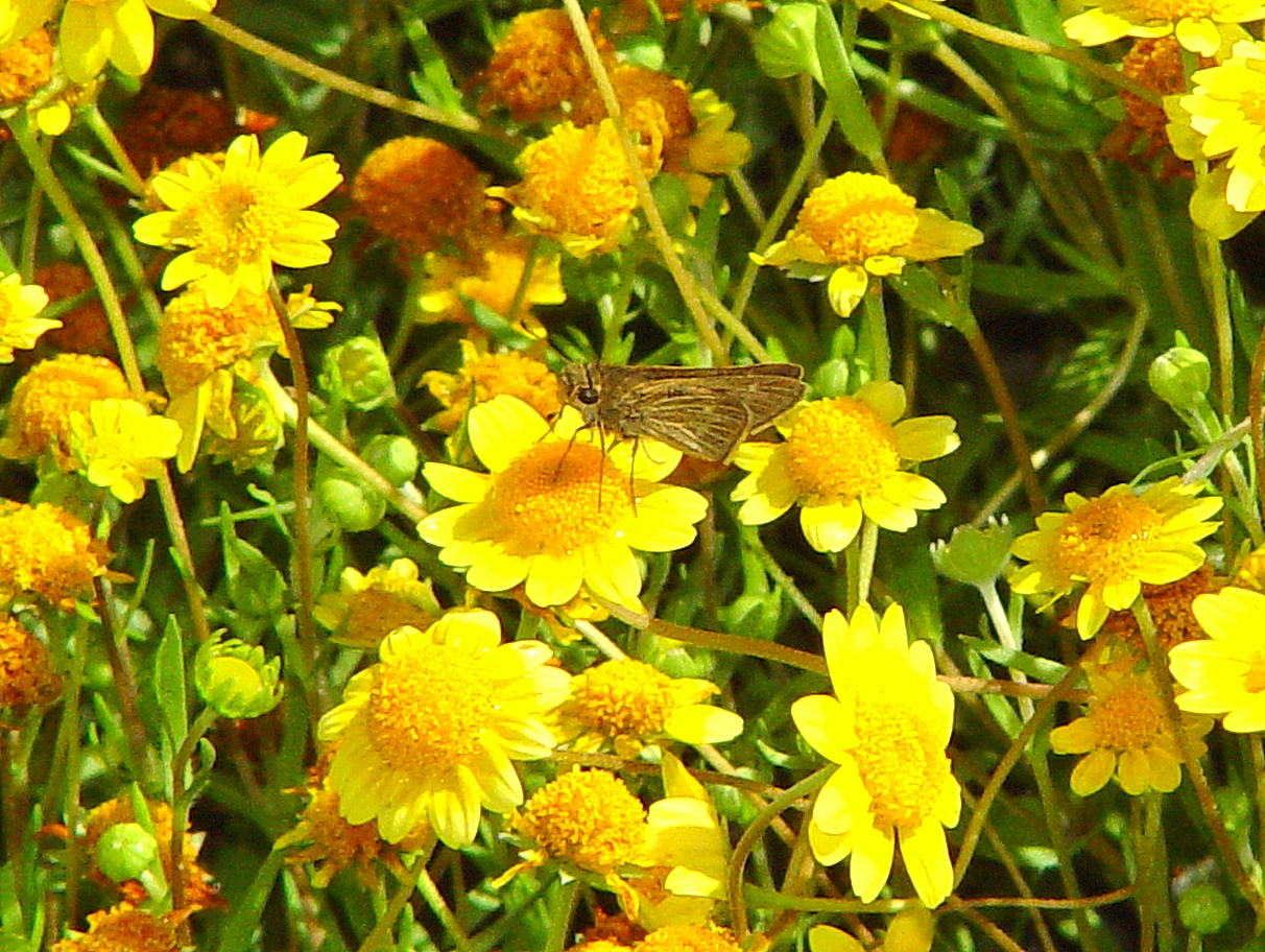
Wandering skipper
Photo Credit: Mark Dodero, RECON
Goal: Maintain, enhance and restore salt marsh vegetation on Conserved Lands in the MSPA that supports or has the potential to support VF species (i.e., southern tarplant, wandering skipper, Belding's savannah sparrow) and to incidentally benefit other MSP species (e.g., salt marsh bird's-beak, Ridgway's rail) so that the vegetation community has high ecological integrity, and these species are resilient to environmental stochasticity and threats such as climate change, and will be likely to persist over the long term (>100 years).
Management units: 1, 7
In 2021, develop a long-term Wandering Skipper Monitoring Plan to track their distribution and status, habitat associations and level of threats in salt marsh vegetation on Conserved Lands in the MSPA. The plan should integrate with the Salt Marsh Vegetation Monitoring Plan to include sampling at long-term vegetation monitoring plots. The monitoring plan should build upon previous surveys, habitat assessments and modeling to develop specific questions, monitoring methods, a statistically valid sampling design, sampling locations, and standardized protocols for determining the status and abundance of the butterfly and for assessing habitat and threats at each sampling site to determine vegetation management needs. The plan should include guidelines for data analysis and preparation of a report with monitoring results and vegetation management recommendations.
| Action | Statement | Action status | Projects |
|---|---|---|---|
| PRP-1 | Submit project metadata and Wandering Skipper Monitoring Plan to the MSP Web Portal. | On hold |
| Criteria | Deadline year |
|---|---|
| Wandering Skipper Monitoring Plan completed by 2021 | 2021 |
| Threat Name | Threat Code |
|---|---|
| Altered hydrology | ALTHYD |
| Climate change | CLICHN |
| Human uses of the Preserves | HUMUSE |
| Invasive plants | INVPLA |
| Urban development | URBDEV |
|
Wandering Skipper Surveys
Surveys for Wandering Skipper at 10 sites in coastal San Diego County.
|
From Santa Barbara County, California to the southern tip of Baja California Sur, Mexico [1].
Buena Vista Lagoon, Batiquitos Lagoon, Agua Hedionda, San Elijo Lagoon, Los Penasquitos Lagoon, Famosa Slough, San Diego River Flood Channel, Sweetwater Marsh, D Street Fill, and Tijuana Estuary [2].
None [1].
Coastal marshes and bluffs [1]. Prefers marshes with tidal flow [2]. Skipper abundance may be associated with size of Distichlis spicata patch and proximity to patch [1]. Common vegetation includes Frankenia salina and Salicornia sp.
Coastal bluffs may connect the coastal lagoon populations and help maintain gene flow [1]. Hesperiidae family.
Adults fly July-November (July-December in Mexico) [2].
Saltgrass (Distichlis spicata) is the larval hostplant [3, 4]. Egg laying had not been recorded, but other grass skippers lay eggs in the seam of grass blades [2]. Incubation is about 10 days. Instar growth takes up to 45 days and pupation is 20-30 days. Males perch on grass blades awaiting females. Diapause occurs in the mature larval stage. Forms a hibernaculum.
Larvae are nocturnal feeders [2]. Males and females are nectar feeders on flowers. Frankenia salina is a likely nectar source [1]. P. errans in coastal bluff sites may use Cakile maritima and Heliotropium as nectar sources.
Seventy-five percent of a P. errans populations are found within 25 meters of a Distichlis spicata patch over 1m2 in size.
Filling and/or dredging of coastal wetlands [3]. Possible future threats from sea level rise [5, 6].
May be confused with salt marsh skipper (Panoquina panoquinoides), Eufala skipper (Lerodea eufala), Umber skipper (Poanes melane), and sandhill skipper (Polites sabuleti) [2]. It is recommended that surveys be conducted between 1000-1500 hours, when temperatures are between 18-32 degrees Celsius, and with a wind speed less than 10 mph [1].
[1]     Greer, K. 2014. “Spatial Distribution and Habitat Assessment of Panoquina Errans ( Lepidoptera : Hesperiidae ) in San Diego County , California.†The Journal of Research on the Lepidoptera 47: 17–27.
[2] Faulkner, D. K., and M. W. Klein. 2012. Sensitive Butterflies of San Diego County, California. San Diego, CA: FLITE Tours, Inc.
[3] Wells, S.M., R.M.Pylem , N.M. Collins, and IUCN. 1983. The IUCN Invertebrate Red Data Book. Gland, Switzerland: IUCN. https://archive.org/details/iucninvertebrate83well.
[4] Brown, J.W. 1991. “Sensitive and Declining Butterfly Species (Insecta: Lepidoptera) in San Diego County, California.†Draft Report Prepared for Dudek and Associates.
[5] Reed, D. J. 1995. “The Response of Coastal Marshes to Sea-Level Rise: Survival or Submergence?†Earth Surface Processes and Landforms 20 (1): 39–48. doi:10.1002/esp.3290200105.
[6] Zedler, J. B. 1996. “Coastal Mitigation in Southern California: The Need for a Regional Restoration Strategy.†Ecological Applications 6 (1): 84–93. doi:10.2307/2269555.