We surveyed for Least Bell's Vireo (Vireo bellii pusillus) along the San Luis Rey River, between College Boulevard in Oceanside and Interstate 15 in Fallbrook, California in 2008. We found 102 vireo territories, at least 48 of which were occupied by pairs. Four other vireos were transients. Vireos were concentrated in three clusters within the survey area. Only one vireo territory was found in the stretch of the river where giant reed (Arundo donax) was recently removed. Fourteen banded vireos were detected within the survey area. All positively identified banded vireos were originally banded along the San Luis Rey River.
Introduction
1.1 Purpose of This Preserve Management Plan
The purpose of this preserve management plan (PMP) is to provide management,
monitoring, and reporting guidelines that will serve the conservation goals for certain
properties owned and managed by the City of Carlsbad (City) during the 2012-2016
period. The previous PMP served the 2009-2011 period, which represented the first
three years of management of these properties. This PMP has been prepared to be
consistent with the north coastal San Diego County's Multiple Habitat Conservation
Program (MHCP), Carlsbad Open Space Management Plan (OSMP) (Technology
Associates International Corporation [TAIC] 2004) and the City of Carlsbad Subarea
Plan, also called the Carlsbad Habitat Management Plan (HMP), for specific natural
habitat properties directly owned and managed by the City. The properties discussed
in this plan are to be managed for the purpose of preserving sensitive resources which
in turn will meet the City's obligation to the MHCP, OSMP, and HMP.
The MHCP is a comprehensive, multi-jurisdictional planning program that guides
the long-term conservation and management of sensitive species and habitats within
the north coastal portions of San Diego County. It is intended to protect viable populations
of key sensitive plant and animal species and their habitats, while accommodating
continued economic development for residents of the North County region.
The MHCP is one of several large multi-jurisdictional habitat planning efforts in
San Diego County, each of which constitutes a subregional plan under the State of
California's Natural Community Conservation Planning (NCCP) Act of 1991.
The current MHCP area encompasses about 30,000 acres of natural habitat across
seven incorporated cities in northwestern San Diego County (Carlsbad, Encinitas,
Escondido, Oceanside, San Marcos, Solana Beach, and Vista). The seven subarea
plans will contribute collectively to the conservation of biological communities and
species in the MHCP area, and, in concert with other subregional plans, to continued
ecosystem viability in southern coastal California. These plans defined core
areas, linkages, and special resource areas that would be necessary to sustain the
targeted species and habitats in perpetuity within the Carlsbad Subarea (see Map
1-5). Jointly these plans provide a mechanism for complying with the Endangered
Species Act (ESA) and the NCCP Act and for issuing permit conditions
Surveys for the endangered least Bell's vireo (Vireo bellii pusillus) were conducted at the San Luis Rey Flood Control Project Area (Project Area) in the city of Oceanside, San Diego County, California, between 1 April and 15 July 2008. Three protocol surveys were conducted during the breeding season and supplemented by weekly territory monitoring visits. A total of 130 least Bell's vireo territorial males were identified; 117 were confirmed as paired, four were confirmed as single males, and nine were not confirmed as paired. Six transient vireos were detected during surveys.
The least Bell's vireo population at the San Luis Rey Flood Risk Management Project Area increased by 20% (22 territories) from 2007, to achieve the highest number of territories ever detected at this site. We evaluated the impact of ongoing channel vegetation clearing and giant reed (Arundo donax) eradication that has occurred in the river channel since 2005 on the Project Area vireo population by comparing vireos in the river channel (Channel), where vegetation treatment has occurred, with sites outside of the river channel (Untreated), where vegetation treatment has not occurred. While the total number of territories in 2008 at Untreated sites outside of the river channel rebounded to the same number as in 2006, the number of territories in the Channel, increased by 11 territories since 2006. Therefore, despite major habitat changes between 2005 and 2008 within the Channel, vegetation removal did not appear to have a negative impact on the abundance of vireos in 2008.
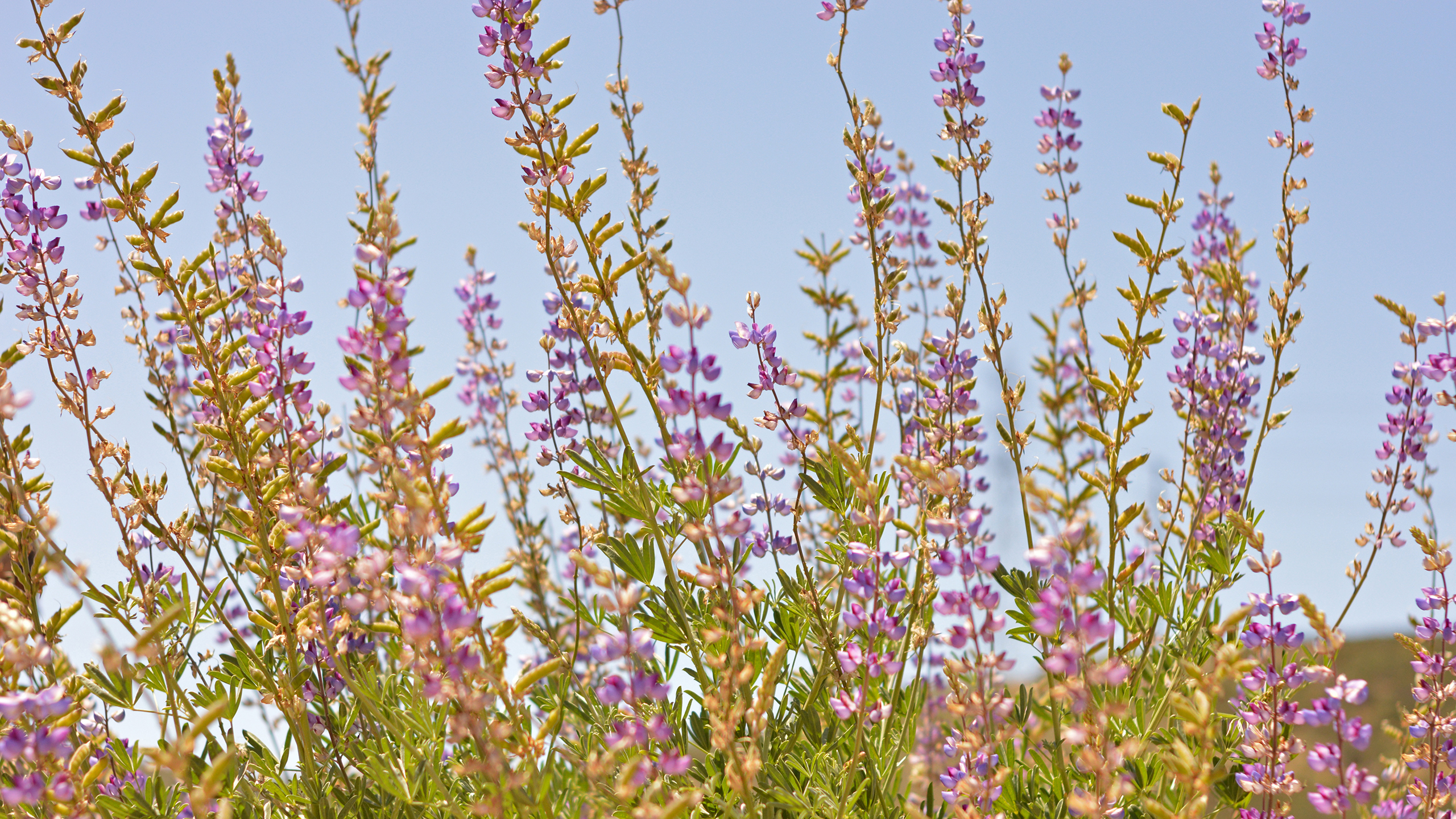
The majority of vireo territories (64%) occurred in habitat characterized as willow riparian. Sixteen percent of birds occupied habitat co-dominated by willows (Salix spp.) and cottonwoods (Populus fremontii), and 20% of territories were found in riparian scrub, dominated by mule fat (Baccharis salicifolia) and/or sandbar willow (S. exigua). Most vireo territories
(61%) were established in habitat where 50 to 95% of the vegetation cover was native species, 38% of the territories were in habitat vegetated almost entirely (>95%) by native species, and one territory was placed in habitat where 5 to 50% of the vegetation cover was native. The most common exotic species within territories was A. donax followed by black mustard (Brassica nigra), poison hemlock (Conium maculatum) and tamarisk (Tamarix ramosissima).
Nesting activity was monitored in 102 territories. Pair success was slightly higher fo
1.1 INTRODUCTION: OSMP PROCESS AND STRUCTURE
The OSMP is the framework plan to implement the Carlsbad Habitat Management Plan (HMP) that was developed, along with the Multiple Habitat Conservation Plan (MHCP), with the input of the wildlife agencies, the Coastal Commission, and the public to establish a process, standards, guidelines, and conditions for long-term conservation and management of the sensitive species and habitats within the north coastal portions of San Diego County. These two documents (HMP and MHCP) provide a regulatory context with which the OSMP must maintain consistency. The purpose of the OSMP is:
I. To describe a process and structure for open space management and monitoring in the City of Carlsbad.
2. To identify and describe key open space management issues in the City.
3. To recommend strategies and solutions for effectively handling these open space management issues.
4. To quantify expected management and monitoring costs for implementation of the OSMP.
The information and analysis synthesized during the development of this plan was used to help quantify management and monitoring costs in the Open Space Management Funding Analysis, which is contained in Appendix A. This plan was developed with substantial input from the wildlife agencies, key City of Carlsbad staff (Planning Department, Parks Department, and Police Department), interest groups, and the general public. Appendix B includes a list of people and organizations invited to participate .
The MHCP is a comprehensive, multiple jurisdictional planning program designed to develop an ecosystem preserve in northwestern San Diego County. Implementation of the regional preserve system is intended to protect viable populations of key sensitive plant and animal species and their habitats, while accommodating continued economic development and quality of life for residents of this north county region. The MHCP is one of several large multiple jurisdictional habitat planning efforts in San Diego County each of which constitutes a subregional plan under the State of California's Natural Community Conservation Planning (NCCP) Act of 1991.
The current MHCP study area encompasses approximately 29,962 acres of natural habitat across seven incorporated cities in northwestern San Diego County (Carlsbad, Encinitas, Escondido, Oceanside, San Marcos, Solana Beach, and Vista). These jurisdictions will implement their respective portions of the MH
Surveys for the endangered least Bell's vireo (Vireo bellii pusillus) were conducted at the San Luis Rey River Flood Control Project area in the city of Oceanside, San Diego County, California, between 1 April and 15 July 2007. Three protocol surveys were conducted during the breeding season and supplemented by weekly territory monitoring visits. One hundred and eight least Bell's vireo territorial males were identified; all but three males were paired.
The vireo population in the project area declined by 9% (11 territories) from 2006, the largest drop observed in five years. Overall there was a net increase of five territories in the channel where exotic and native vegetation removal has occurred (Treated) and a net loss of 16 territories in the Untreated sites where vegetation removal will not occur (Untreated), suggesting that factors other than vegetation removal may have contributed to the 2007 decline. Factors contributing to the vireo decline may include drier conditions, reduced habitat quality, and human disturbance.
The majority of vireo territories (70%) occurred in habitat characterized as Willow Riparian. Ten percent of birds occupied habitat co-dominated by willows (Salix spp.) and cottonwoods (Populus fremontii), and 20% of territories were found in Riparian Scrub, dominated by mule fat (Baccharis salicifolia) and/or sandbar willow (S. exigua). Most vireo territories (63%) were established in habitat where 50 to 95% of the vegetation cover was native species while 37% of the territories were in habitat vegetated almost entirely (>95%) by native species. Giant reed (Arundo donax) was the most common exotic species within territories followed by black mustard (Brassica nigra), poison hemlock (Conium maculatum) and tamarisk (Tamarix ramosissima).
Nesting activity was monitored in 97 territories. Pair success from both treatments was comparable; 82% (50/61) of Treated pairs vs. 87% (27/31) of Untreated pairs were successful in fledging young from at least one nest. Nest success (number of nests fledging at least one young/total number of nests found) of pairs breeding in the channel (Treated) did not differ statistically from that of pairs breeding in the Untreated sites (49%; 60/122 vs. 59%; 32/54). Successful and failed nests within Treated and Untreated sites did not differ statistically in average nest height, height of the host plant, or the distance the nest was placed from the edge of the host plant. Eighty to ninet